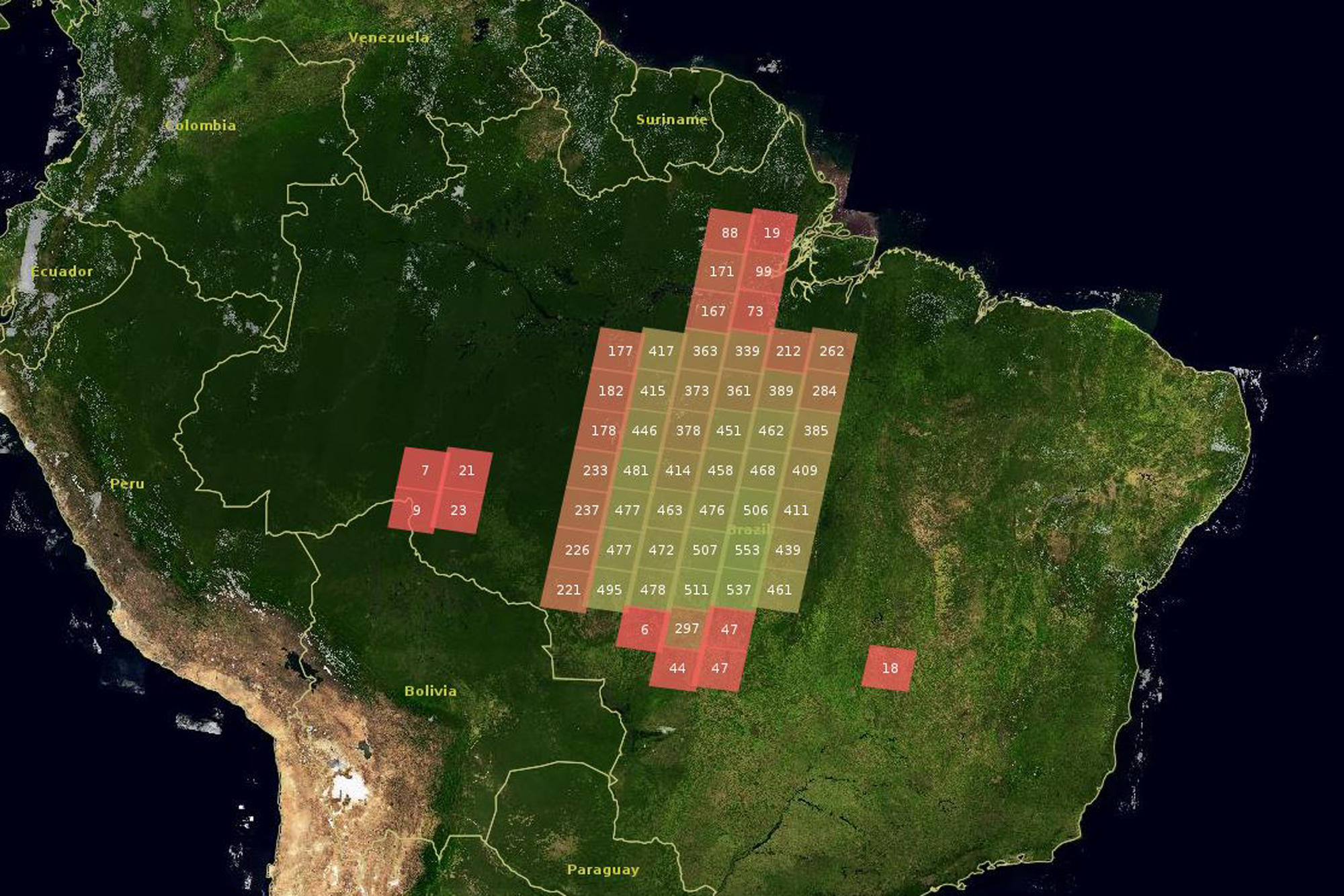
Fields of activity of the project in Brazil. Each box corresponds to an area of 200 x 200 km – the recording’s so-called “footprint.” The figures provide information about Landsat satellite data per footprint (green=a lot of data; red=little data)
Bildquelle: Geographie, Humboldt-Universität zu Berlin